Glacier mapping
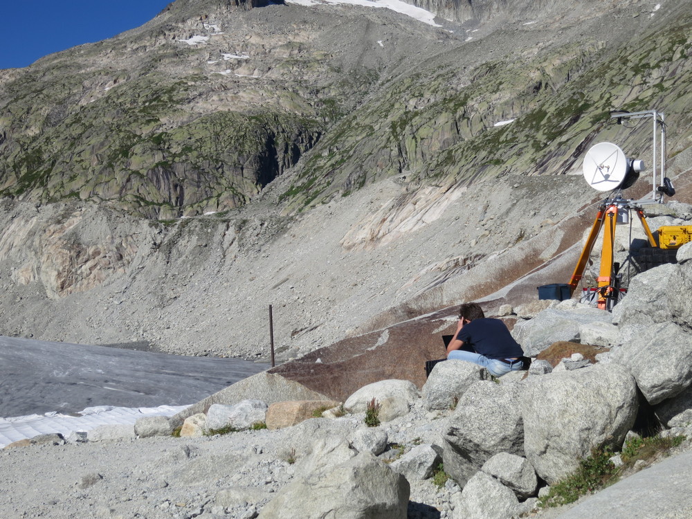
Glaciers are highly dynamic systems and require detailed monitoring so that we can understand how they will evolve in a warming world. In this project, we are developing the utility of millimetre-wave radar to map and monitor glaciers at high resolution. We will be utilizing the 2nd generation AVTIS (All-weather Volcano Topography Imaging Sensor) radar for this purpose. The AVTIS2 radar can generate high-resolution maps of surface backscatter and Digital Elevation Models (DEMs), both of which are of major interest to the glaciology community. Critically, AVTIS2 is a real aperture radar system and so does not require the phase stability of interferometric radar systems. This is particularly important in glacier environments where the ice surface can change rapidly within minutes.
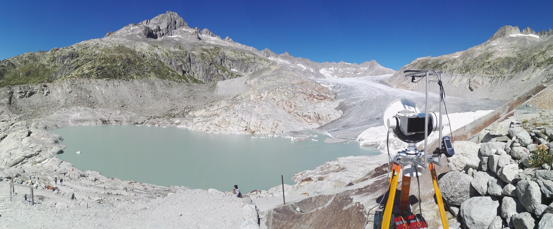
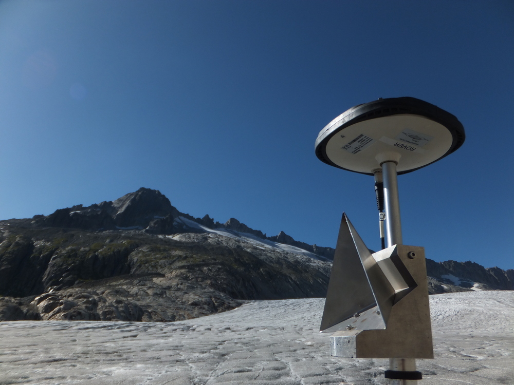
The first aim of this project was to collect the first ever 94 GHz radar backscatter measurements from glacier ice and to quantify the Normalised Radar Cross Section (NRCS) of the terrain. The NRCS quantitatively describes radar backscatter from a terrain clutter environment and is a complex function of surface dielectric properties, roughness and viewing geometry. The glacier clutter environment is extremely complex, consisting of varying levels of debris content, surface meltwater streams, large crevasses and differing scales of roughness controlled by spatial changes in surface melt. To this end, we conducted fieldwork at Rhônegletscher in the Swiss Alps in the summer of 2019 to understand the radar backscatter properties from a temperate, alpine glacier surface. You can access a copy of a presentation on this work given at EGU here.
The main aim of Will Harcourt’s PhD project is to apply the new sensing capabilities of millimetre-wave radar to study the process of iceberg calving from marine-terminating glaciers. Current techniques for investigating this process include low frequency radar, laser scanners, lidar, time-lapse cameras and active/passive seismology. Millimetre-wave radar will offer a new dimension to analysing glacier calving fronts. In 2021, we will deploy the AVTIS2 radar at the terminus of Hansbreen, Svalbard, as part of ‘Radar Monitoring of Calving at Hansbreen (RaMoCH)’ project funded through the Svalbard Integrated Arctic Earth Observing System (SIOS) (details can be found here).
Funders: SAGES (Scottish Association for Geoscience Environment and Society) and EPSRC (Engineering and Physical Sciences Research Council)
Project Members: Mr William D. Harcourt, Dr Duncan A. Robertson, Dr David G. Macfarlane, Prof. Doug Benn (University of St Andrews), Prof. Brice Rea, Dr Matteo Spagnolo (University of Aberdeen) & Prof. Luca De Siena (Johannes Gutenberg University, Mainz).