Mapping Snow in the Cairngorms with mm-wave Radar
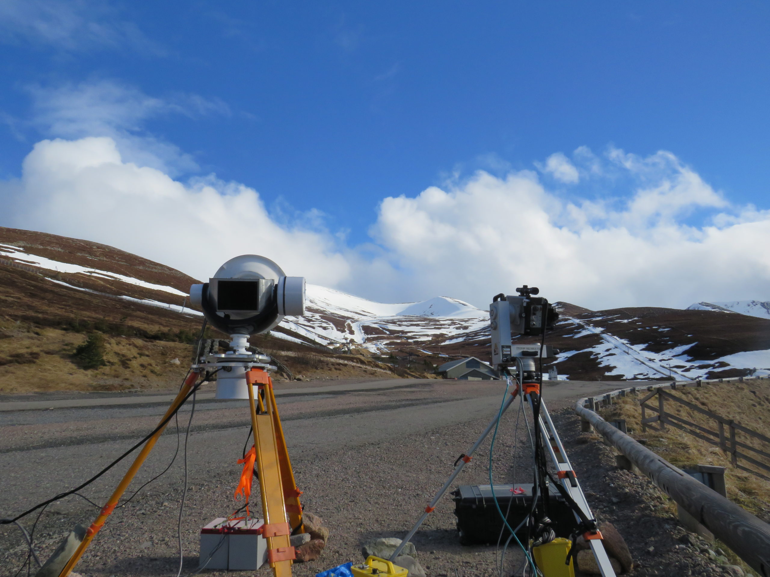
In March 2021, Will Harcourt, Duncan Robertson, Dav Macfarlane (St Andrews) and Brice Rea (Aberdeen) deployed the AVTIS2 94 GHz radar (previously used to map volcanoes and glaciers) in the Cairngorms to map snow covered terrain. This work has been conducted in collaboration with the Scottish Avalanche Information Service (SAIS) to understand how millimetre-wave radar can be used in improving forecasts of snow hazards in Scotland. You can read more about this project in Will Harcourt’s blog post here.